Earth Wind Map by Supercomputers
Randomly came across some stunning images of the Earth's wind and ocean on this blog.
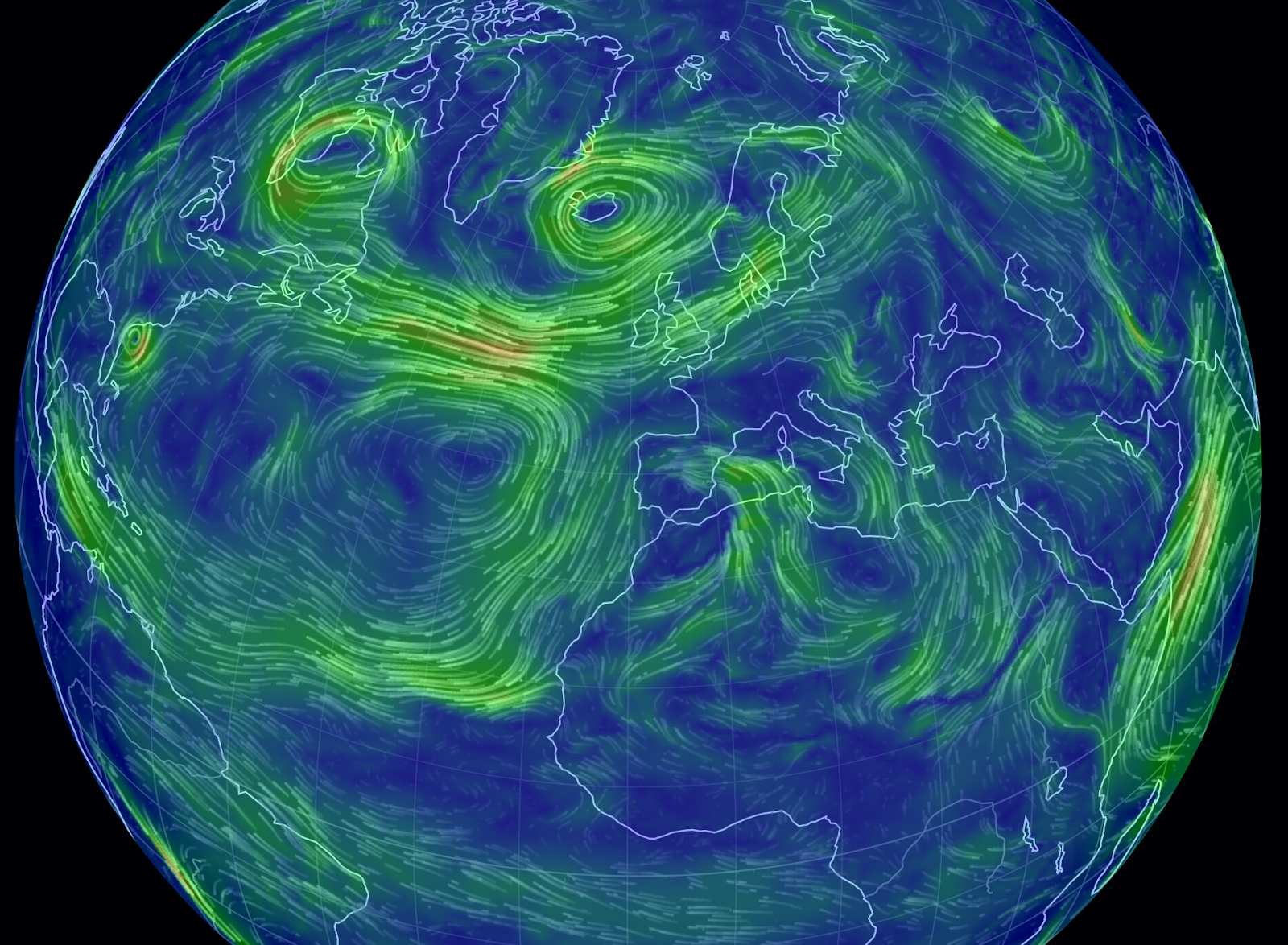 |
| Looks like there is quite a lot of wind hitting the UK! |
The interactive visualization of wind patterns all around the world is created by a computer program that downloads weather data from the Global Forecast System at the National Centers for Environmental Prediction, part of NOAA/the National Weather Service. This raw data is then rendered in your browser in the form of a globe that can be moved (drag with the mouse) and zoomed in and out of (use your mouse scroll wheel).
The data is updated every 3 hours, so it is pretty close to real-time considering that this isn't just a small local dataset but covers the whole planet.
I wonder what the poles look like:

Amazing! That is a lot of activities!
Just one more image:

Looks like it's going to be windy, I better take my coat today..


Comments
Post a Comment